

LARKI 3D Land Surveys Online
LARKI 3D Land Surveys Online
Sydney, New South Wales + 1 moreBusiness
Focus
Residential & Commercial
Services we
provide
- 3D Scan to BIM Services
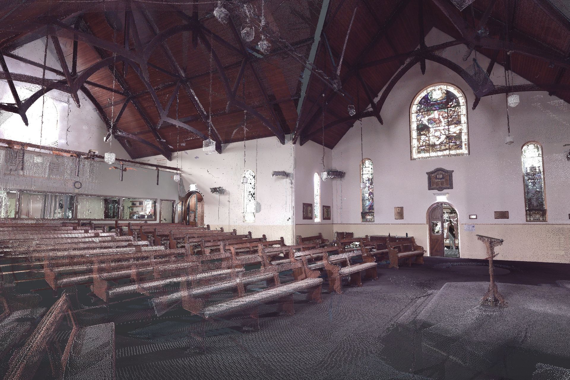
- 3D Tripod Point Cloud – Interior/Exterior
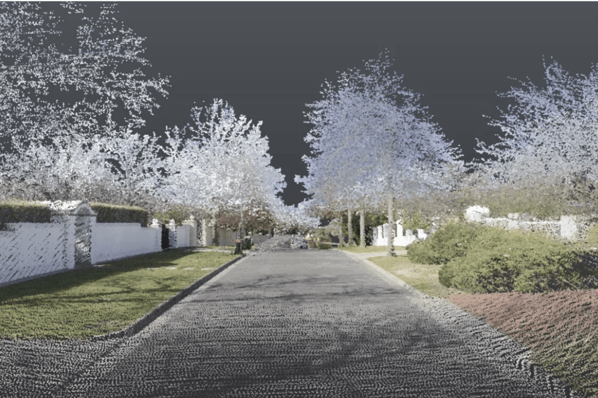
- 3D Streetscape Point Cloud
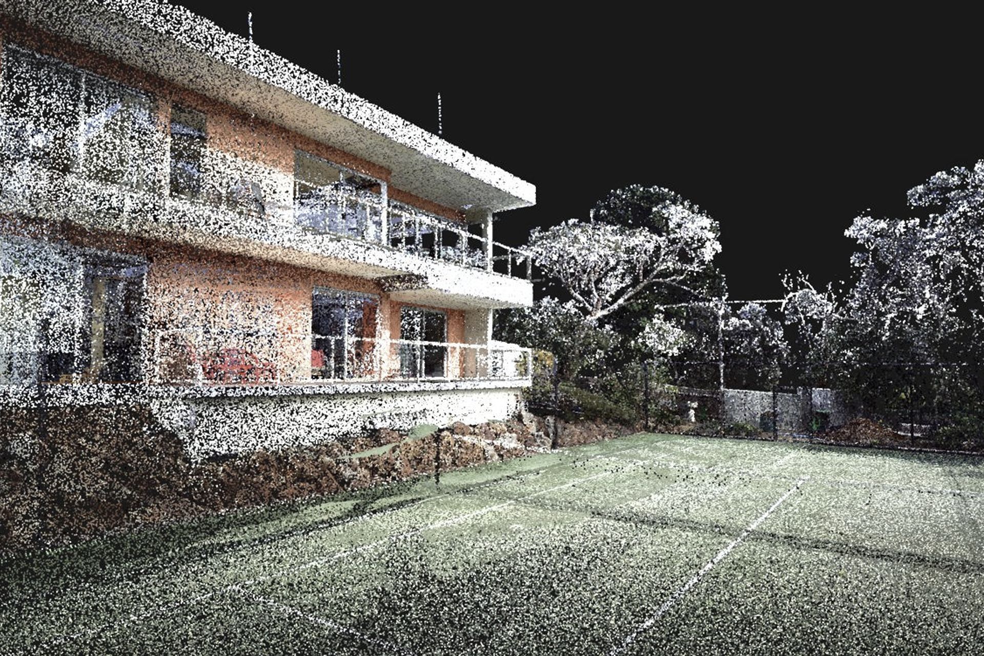
- 3D Drone Point Cloud
- 3D Aerial Point Cloud
5
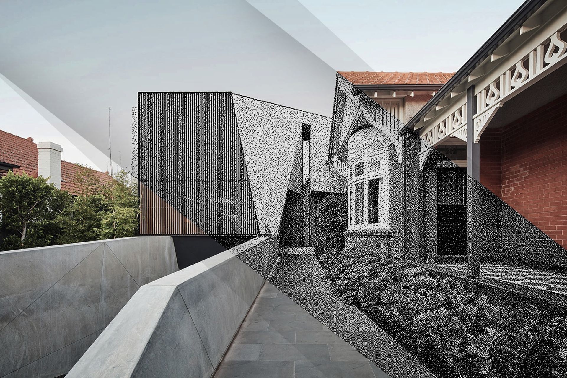
Empowering architects, property developers and other built-environment stakeholders to create well-fitted, environmental and affordable buildings through cutting-edge 3D and AI technology.
LARKI aggregates 3D laser scan data (LiDAR) captured from planes, cars, drones and tripods. Then rapidly converts to 3D architectural models (BIM).
LARKI supplies 3D laser scanned point clouds of streets and neighbourhoods via an online Platform with a 3D Viewer (SaaS), for professionals who need to do site measurements remotely and fast.
- Compared to traditional 2D land surveys, LARKI’s 3D Surveys are up to:
- 300,000 x better resolution,
- 8 x better value, and
- 700 x faster to acquire.
- Saving architects, property owners and property developers weeks and thousands of dollars off their projects.
LARKI makes 3D surveys great value, quick and easy; so that getting approved architectural designs can be affordable, quick and easy; so that great built architecture can be affordable, quick and easy.
Verified ArchiPro Member3 years · Since 2023
Views and Engagement
10.2K
17h 2m
Locations
Phone
View phone number